NEED MORE INFORMATION? LEAVE YOUR INFO BELOW AND ONE OF OUR TRAINERS WILL CONTACT YOU!


UPCOMING TRAINING WITH STEM LEARNING, UNITED KINGDOM!
date: thursday, MARCH 14TH, 2019
FOR MORE INFORMATION AND TO SIGN UP, CLICK HERE
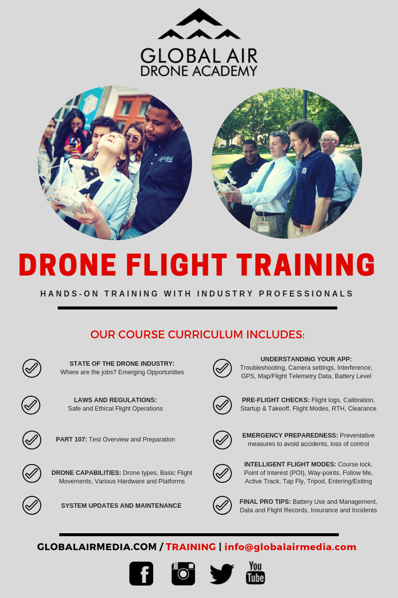
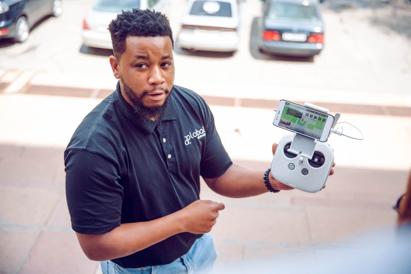
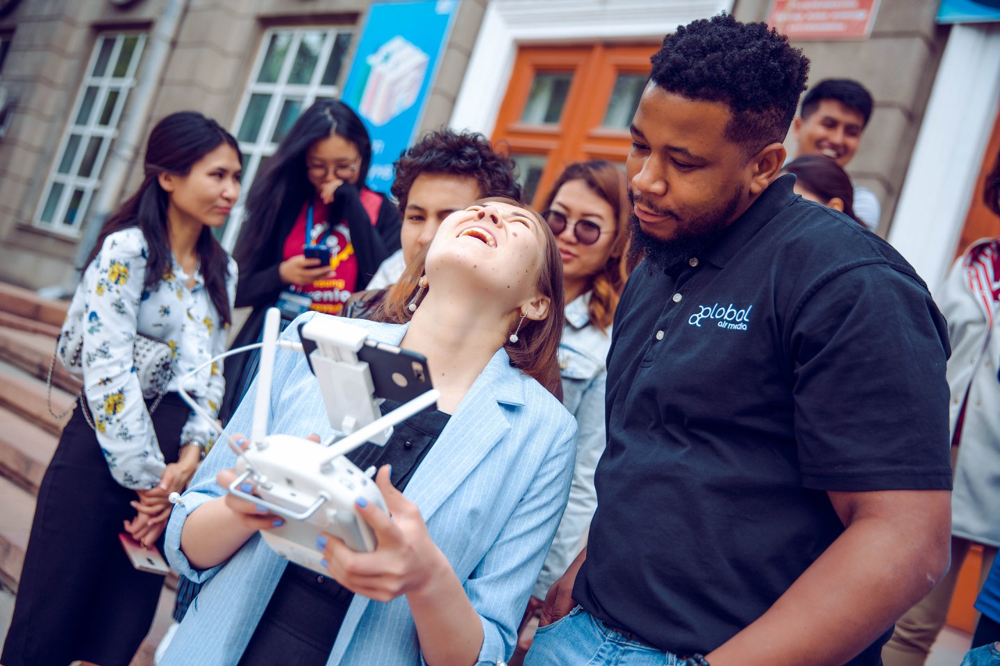
WHY do your TRAINing WITH GLOBAL AIR MEDIA?
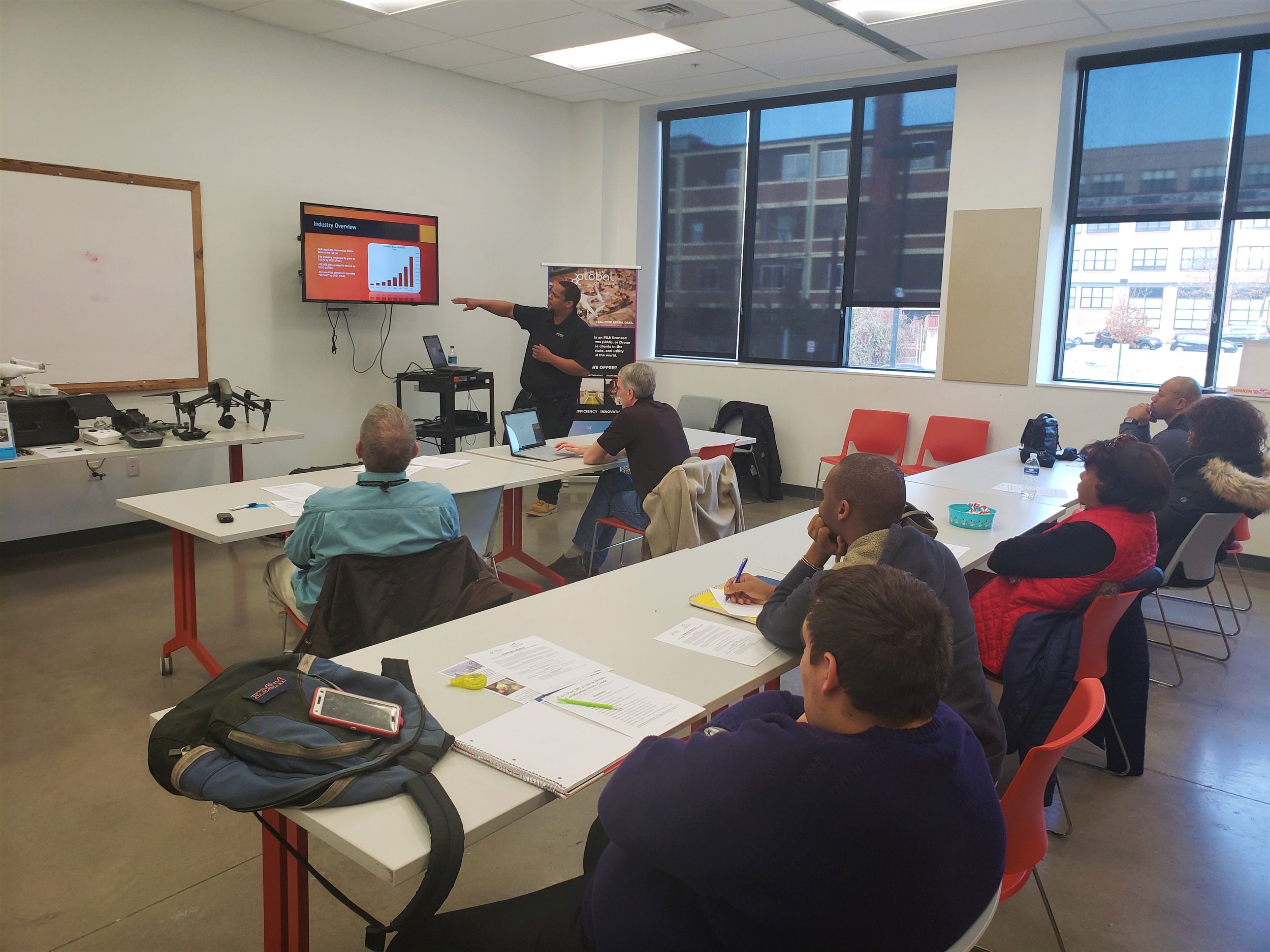
We are prepared with the required skill, knowledge, and equipment to meet the growing innovation in the UAS industry. Our course goes beyond basic flight theory, and focuses on the most relevant, up to date, and real-world information.
Course Overview
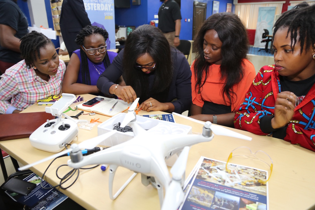
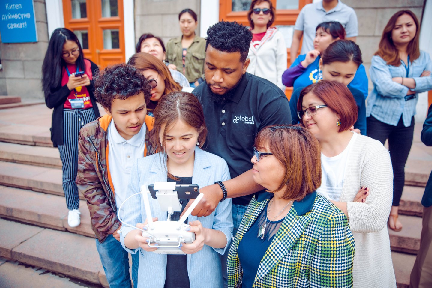
You will acquire valuable skills for piloting your DJI (or similar) drone with practical tools for improvement.
We will teach you the different control modes, safety features, avoiding flyaways, and how to apply for your drone operator’s license (Part 107).
This course also includes a comprehensive introduction to hardware, software and key techniques to use for success in emerging industry.
Students will be engaged in the wealth of knowledge and real-world experiences this course teaches, which delivers actionable insight into business opportunities for drone-based photogrammetry and orthomosaic photography.
Module 1:
Pre-Flight and Safety (General safety, onsite safety training/checklist, operational limits) In-Flight Concepts and Movements – Yaw (rotational motion), Pitch (forward, backward) Roll (right and Left) Thrust (going up) UAS 101 – Learn about drone history and the different types of commercial drones, parts, components, sensors, basic forces of flight and the science behind drones Flight Modes: GPS/Attitude/Manual Compass Calibration: Relationship Between GPSWAAS Preflight inspection and maintenance
Module 2:
Theory and Concepts (Mapping Concepts, History of Photogrammetry, Review side-lap and overlap settings, review structure scanning concepts) and Hardware Mapping Hardware Drone Deploy – Online Data Processing Intro to Self-Processing – Photoscan and Pix4D Global positioning system (GPS) Lesson in Various Commercial Applications Payload Options Autonomous/Manual Flight LOS and FPV Flights
Module 3:
Application and Practice -On Site Demo -Flight modes -Various Outputs Orthomosaic Map, 3D Map, Elevation Map, NDVI Map -Spatial awareness and emergency maneuvers Measurements -Distance and Area Measurements, Volumetric measurements, elevation maps, NDVI imaging and more Evaluate, measure, and Analyze results Troubleshooting faulty maps Ground Control Points
Module 4:
Applying for your Part 107 License -Real World Applications, Drone Law: Current State of Legislation & Privacy, -Tips on editing pictures and video
Module 5:
Final Assessment and Certificate Presentation
WHO IS THIS COURSE FOR?
New drone pilots looking to acquire professional skills!
Aspiring drone pilots and businesses that want to expand their product base to offer more than just photography and videography
Surveyors who want to innovate their product by integrating UAS with their existing survey methods
Existing experts in mapping and modeling who can benefit from using UAS to capture data in a cost effective way
Individuals and businesses who can benefit from receiving up-to-date actionable information at a relatively low cost
Marketing and sales departments who can benefit from showing sites and buildings in a cutting edge way to prospective clients during pitches and presentations